Guidebook
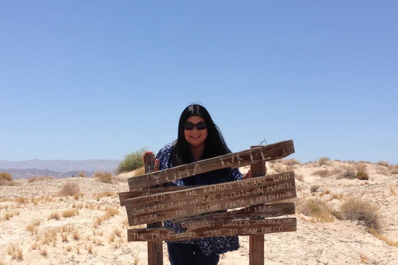
NO. 1008 YUHA WELL - Known as Santa Rosa de Las Lajas (Flat Rocks), this site was used on March 8, 1774 by the Anza Exploring Expedition, opening the land route from Sonora, Mexico, to Alta California. On December 11 to 15, 1775, the three divisions of Anza's colonizing expedition used this first good watering spot beyond the Colorado River on the way from Sonora to San Francisco.
Location
Interstate 8 Eastbound Sunbeam Roadside Rest Area, Between Drew and Forrester Roads (Milepost 31.3) ~~~~~~~~~~~~ The site of the well is at 32.7163722222222,-115.876708333333.
Open Map
Notes
The State Plaque is easy to find in a rest area. The well is more difficult. You need to take CA-98 West to Hocker Drive. Turn right (North) onto Hocker Drive. The directions on Google maps show that at a certain point you need to park and hike the rest of the way to the well. If you have 4 wheel drive, you can drive all the way to the well. Dune Buggys and ATVs have left trails to follow. See picture of map below.
Afterthoughts
Below is a link to a BLM map to Yuha Wells.
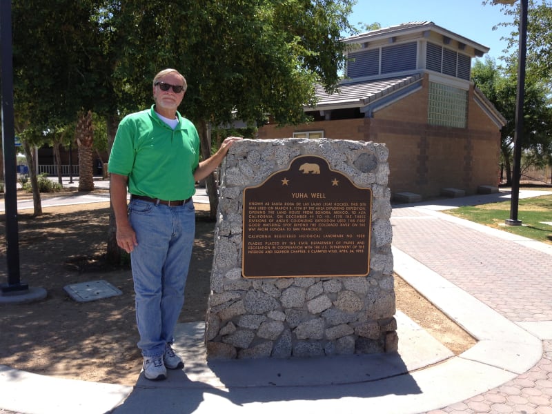
NO. 1008 YUHA WELL - Marker at Rest Area
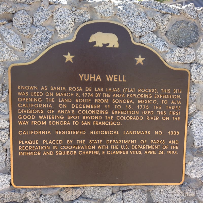
NO. 1008 YUHA WELL - State Plaque
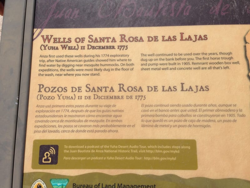
NO. 1008 YUHA WELL - Information Board at Site
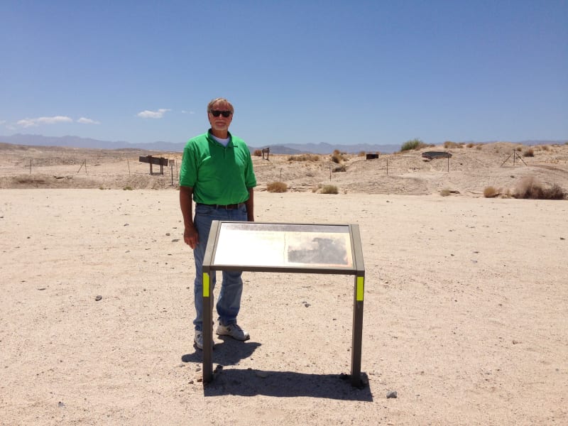
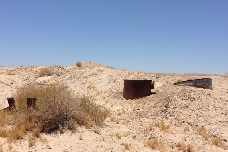
NO. 1008 YUHA WELL - Site of Well
NO. 1008 YUHA WELL
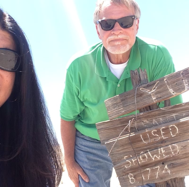
NO. 1008 YUHA WELL - Private Sign
NO. 1008 YUHA WELL - Private sign
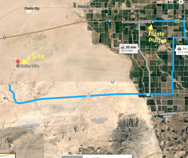
NO. 1008 YUHA WELL - Map to well
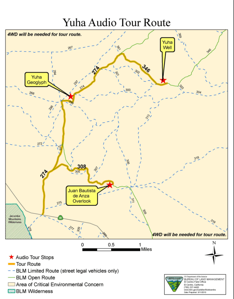
NO. 1008 YUHA WELL - Bureau of Land Management Map