Guidebook
NO. 182 TUMCO MINES - Pete Walters of Ogilby discovered the first gold vein at Gold Rock on January 6, 1884. From his Little Mary Claim began a gold camp which reached its peak development between 1893 and 1899 as Hedges, with 3,200 residents. Nearly closed, 1900-10, it was reopened as Tumco, 1910-13, and worked intermittently until 1941. Tumco has long been a California ghost town.
Location
STATE PLAQUE: Parking lot of Gold Rock Ranch RV Resort (2401 Gold Rock Rd, Winterhaven, CA 92283). ---------------------------- SITE: Trailhead on Gold Rock Ranch Rd, just east of S34 (Ogilby Road). Trail is about 1.0 mi to remains of townsite. SEE MAP IN THE PICTURES BELOW.
Open Map
Notes
STATE PLAQUE: 32°52'54.5"N 114°51'44.0"W --------------------------------- MINE SITE: 32°52'42.4"N 114°48'57.0"W
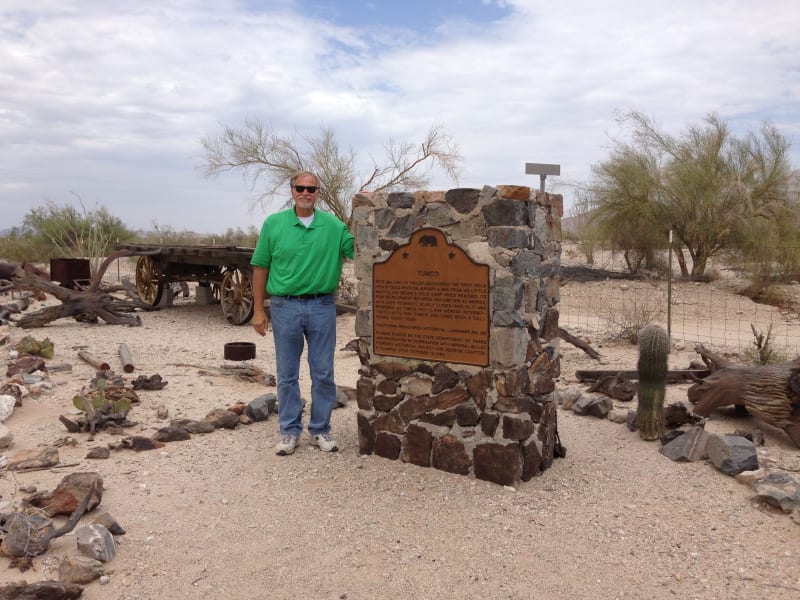
NO. 182 TUMCO MINES - Marker located in Gold Rock Ranch RV Park

NO. 182 TUMCO MINES - State Park
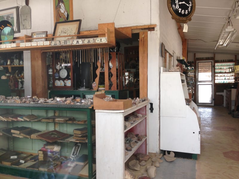
NO. 182 TUMCO MINES - Gold Rock Ranch Museum
NO. 182 TUMCO MINES - Gold Rock Ranch Museum

NO. 182 TUMCO MINES - Trailhead to Tumco Townsite and Mine

NO. 182 TUMCO MINES - Trailhead to Tumco Townsite and Mine
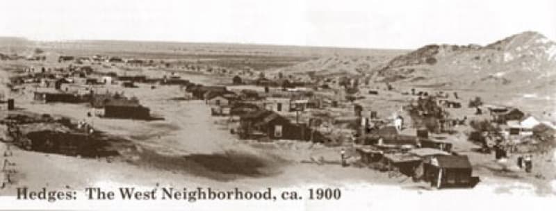
NO. 182 TUMCO MINES - Tumco Townsite 1900
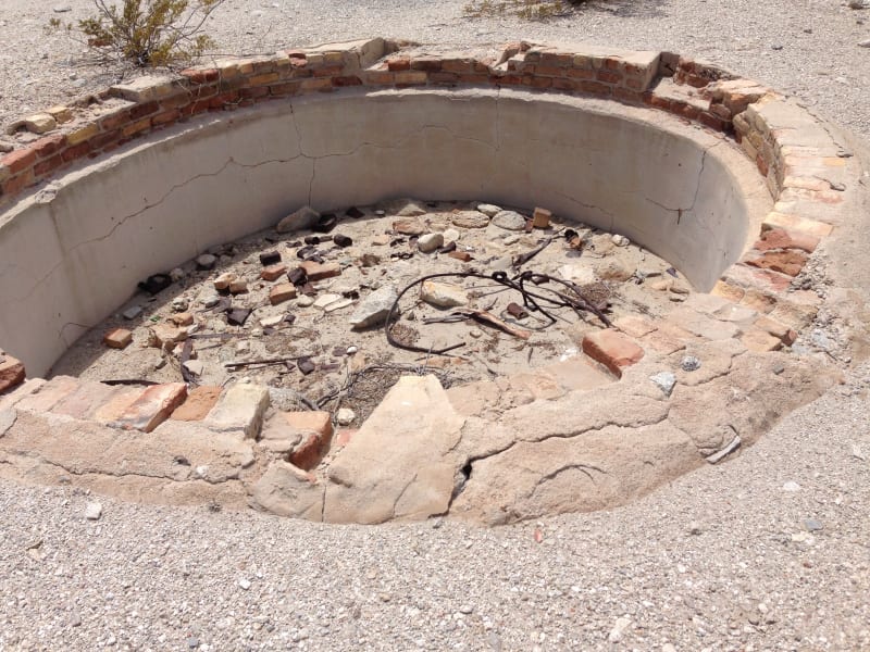
NO. 182 TUMCO MINES - Remains of Tumco Townsite
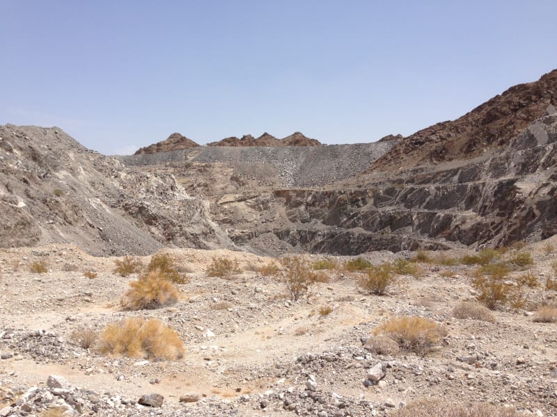
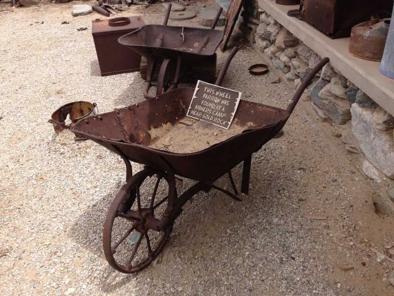
NO. 182 TUMCO MINES - Remains of Tumco Mine

NO. 182 TUMCO MINES - It was a hot walk in July!

Map of plaque and townsite