Guidebook
NO. 232 MISSION SAN ANTONIO DE PADUA - Mission San Antonio de Padua, established on July 14, 1771, was the third in a series of missions founded in Alta California by Father Junípero Serra. Its picturesque setting in the valley of the San Antonio River within the Santa Lucia Range makes it one of today's most outstanding examples of early mission life.
Location
Mission: Take Jolon Rd 26.5 mi from Hwy 101, to Hunter-Ligget Military Reservation, 23 mi W of King City. ~~~ The first plaque is located on the west side of Jolon Rd just south west of Hwy 101 in King City. (36.195486, -121.145950) ~~~~ A second plaque is located in the Camp Roberts Northbound Rest area. 35.831129, -120.758106. See picture of map below.
Open Map
Notes
If you are looking for the first state plaque, make sure you take the Jolon Road in King City. It is the Jolon Road that is farther north.
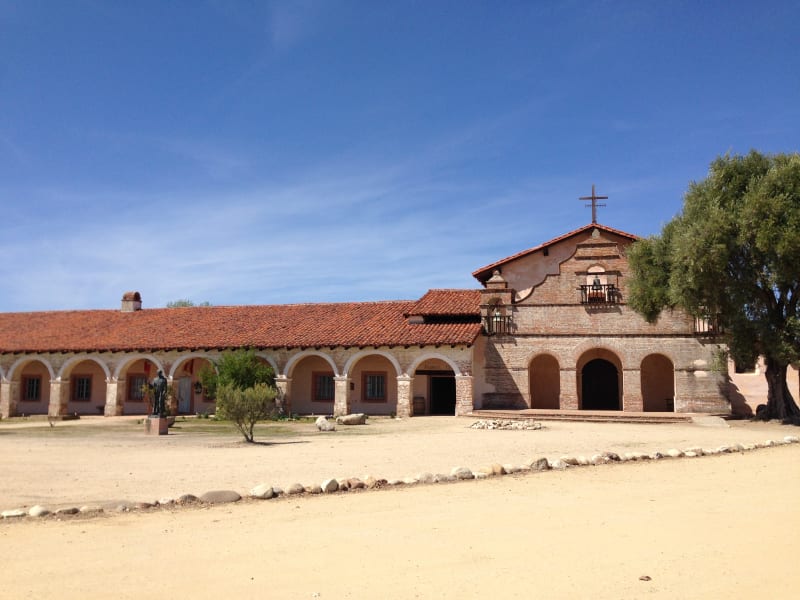
CHL #232 Mission San Antonio de Padua
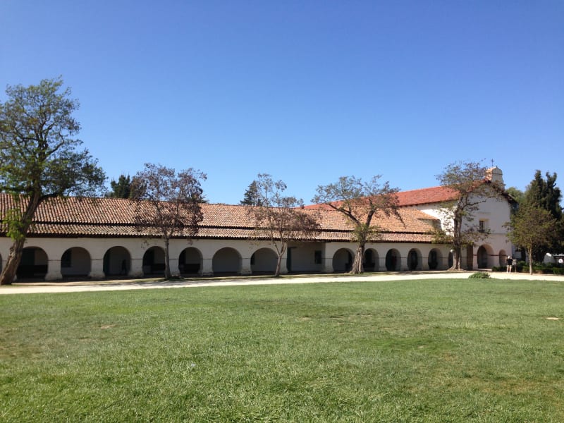
CHL #232 Mission San Antonio de Padua
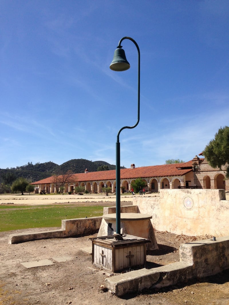
CHL #232 - Mission San Antonio de Padua --El Camino Real Bell
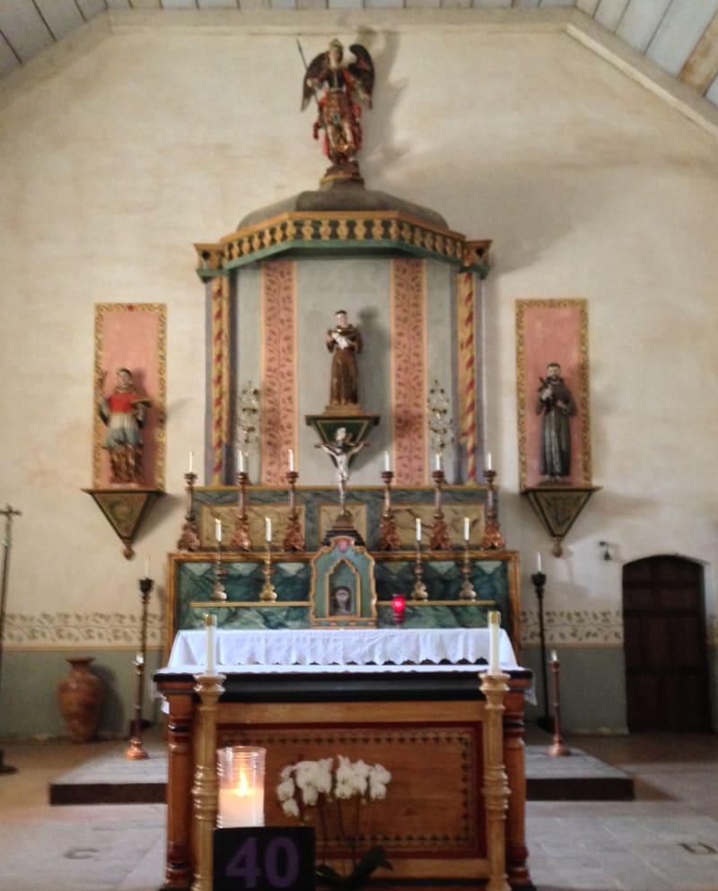
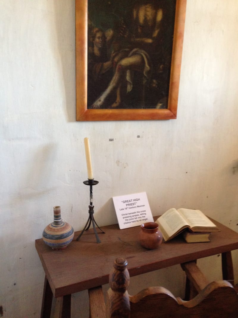
CHL #232 - Mission San Antonio de Padua -- Front Altar
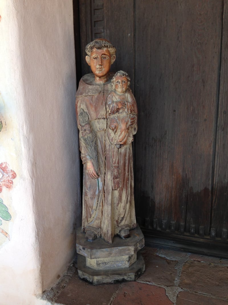
Saint Anthony
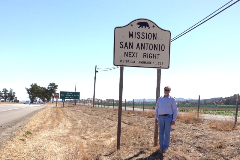
CHL No. 232 - Mission San Antonio de Padua - State Street Sign
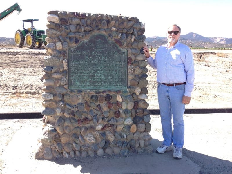
CHL No. 232 - Mission San Antonio de Padua - Marker
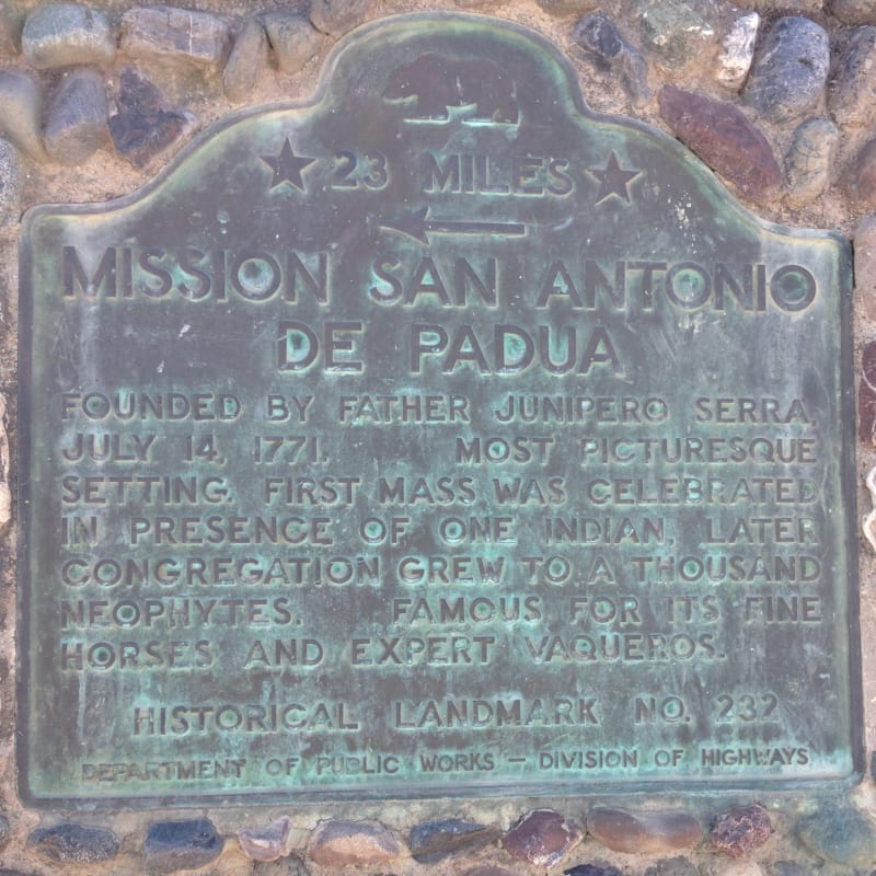
CHL No. 232 - Mission San Antonio de Padua - State Plaque
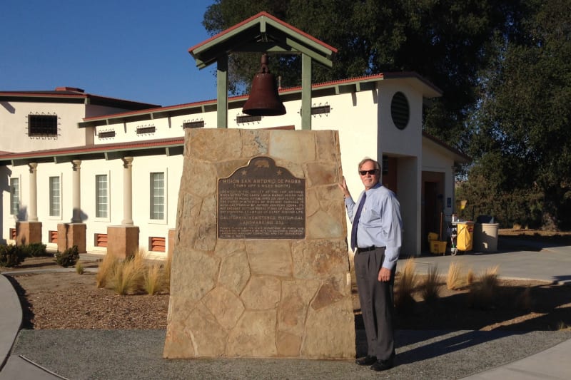
CHL No. 232 - Mission San Antonio de Padua - Second State Marker
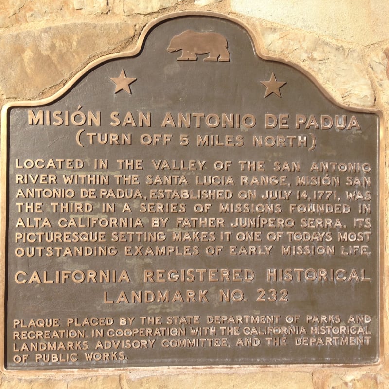
CHL No. 232 - Mission San Antonio de Padua - Second State Plaque
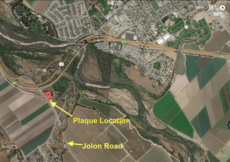
CHL No. 232 - Mission San Antonio de Padua - First State Plaque Map
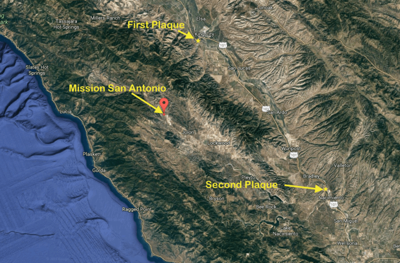
CHL No. 232 - Mission San Antonio de Padua, site and plaques