Guidebook
NO. 260 SANTA CLARA CAMPAIGN TREATY SITE - After an armed confrontation on January 2 and a meeting the following day, Marine Captain Ward Marston, commander of the United States expeditionary force, and Francisco Sánchez, leader of the Mexican-Californian ranchers, agreed to a treaty here on January 7, 1847. U.S. forces were to recognize the rights of the Californians and end seizures of their property.
Location
FIRST PLAQUE: SE corner of El Camino Real and Lincoln Street. SECOND PLAQUE: Civic Center Park, NE corner of El Camino Real and Lincoln St, Santa Clara
Open Map

NO. 260 SANTA CLARA CAMPAIGN TREATY SITE - First Marker

NO. 260 SANTA CLARA CAMPAIGN TREATY SITE - First State Plaque
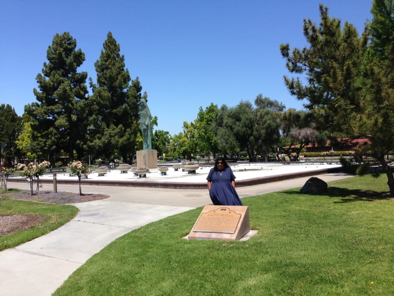
NO. 260 SANTA CLARA CAMPAIGN TREATY SITE - Second Marker in Civic Center Park

NO. 260 SANTA CLARA CAMPAIGN TREATY SITE - Second State Plaque